

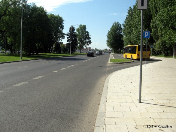
Improvement of National Road No. 11 in Koszalin
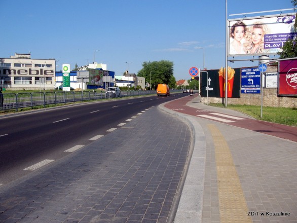
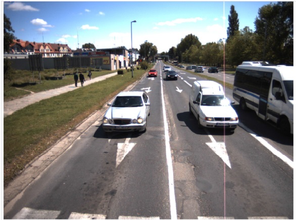
National Road No. 11 runs through the city centre and it connects Central Pomerania with Upper Silesia; this is one of the most important routes in Koszalin; it constitutes an access route to Koszalin from the neighbouring localities (Manowo, Świeszyno). The investment, which was co-financed from the Infrastructure and Environment Operational Programme 2014-2020, was related to National Road no. 11 which, apart from the very centre of Koszalin, also crosses highly populated areas and industrial areas.
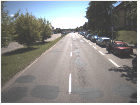
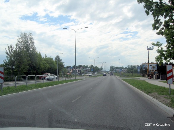
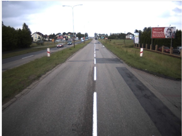
Within the framework of the project: “Improvement of National Road No. 11 in Koszalin”, the process was conducted of strengthening the road structure to accommodate 115KN load axle, including conversion of pavements, construction of bicycle paths, parking spaces, conversion of the intersection with the street Zwycięstwa without changing the intersection type, renovation of green areas within the works, construction of new road lighting, conversion of the intersection of the streets of Krakusa i Wandy – Lechicka – Konstytucji 3-go Maja from the straight type to the roundabout type, partial logging of the existing trees, construction of a new pavement on the right side (from the cemetery) from Plot no. 10/13, Precinct 47 to Plot no. 125/1, Precinct 47, construction of a stormwater drainage system with a pre-treatment unit (settling tank + separator) with water drainage to the existing road ditch. The investment has contributed to an increased transport accessibility of Koszalin and a better comfort of driving around the city as well as to an increased throughput capacity and safety.
The implementation of the project was of a key importance to improving communication and the traffic flow in Koszalin. The scope of the project included the following tasks:
- Stage I – conversion of the street of Armii Krajowej from the intersection with the street of Bohaterów Warszawy to the intersection with the street of Krakusa i Wandy;
- Stage II – conversion of the street of Krakusa i Wandy including conversion of a section of the street of Lechicka between the street of Krakusa i Wandy and the street of Obotrytów;
- Stage III – conversion of the street of Gnieźnieńska from the intersection with the street of Paderewskiego to the city limits.
Your project description
To add a photo, description, specify a location or attach other materials about the project, you should fill out the form below. After clicking the “send” button, a message will be sent to you e-mail asking for confirmation. You must accept to submit the form. The EU Dot Map Guidelines and consent to the processing of personal data. materials will be sent to the editor of the site, who will publish it on the website after verification test.