

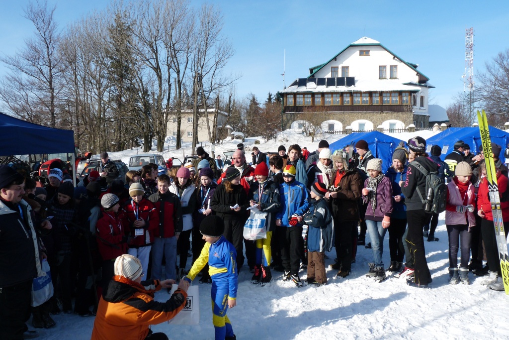
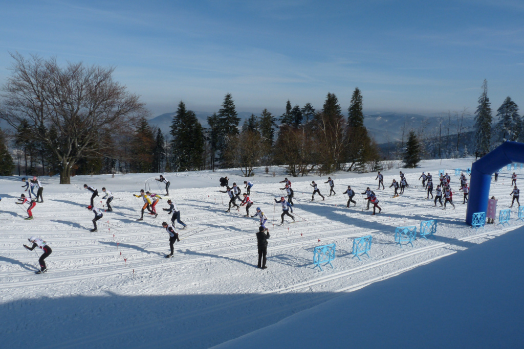
Cross-country ski trails on Magurka Wilkowicka
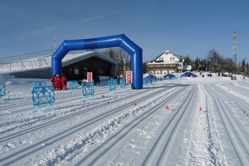
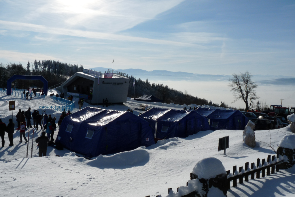
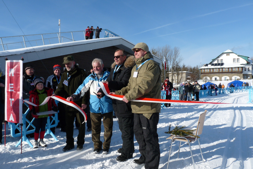
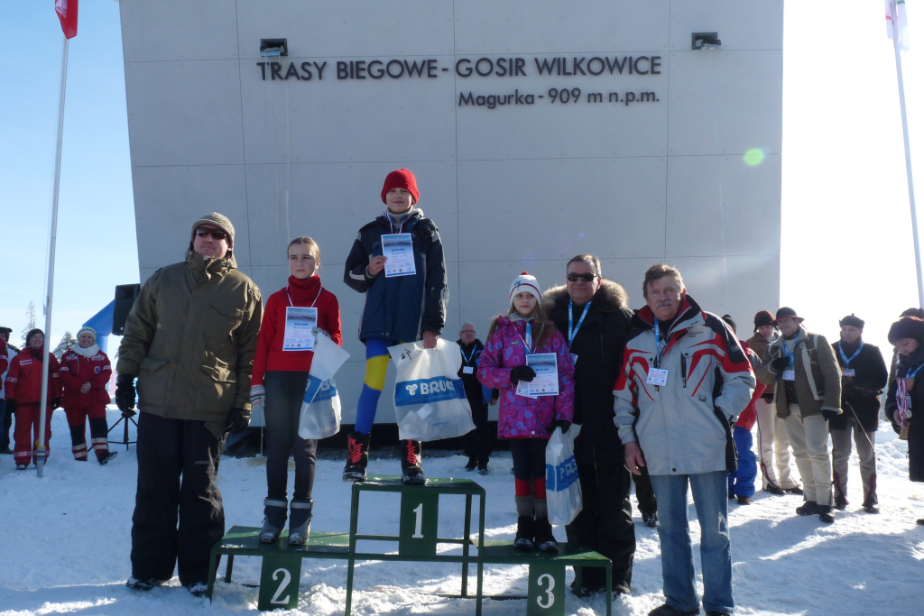
The fourth highest peak in the Beskid Maly, Magurka Wilkowicka (909 m) rises in the western part of the range. The mountain is extremely popular with visitors on account of the numerous trails crossing here, lovely views extending from the summit clearing and the century-old stone refuge providing rest and hot meals. Magurka is a favourite destination especially for people from the nearby city of Bielsko-Biała and the Silesian agglomeration, but also from much further afield. Visitors from all over the country come here for active leisure. In winter, Magurka attracts enthusiasts of cross-country skiing. This is hardly surprising as the area is simply perfect for this kind of activity – pursued here more than a hundred years ago by the Habsburg Archduchess. This aristocratic skiing tradition is now continued by the commune of Wilkowice which in 2005 started to hold cross-country runs known as the Magurka Cup “In the steps of Archduchess Maria Theresa”.
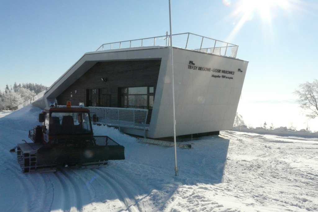
In order to fully exploit the tourist and sports potential of the mountain, an interesting project, important for the region, was carried out with a substantial financial support from EU funds. Four circuits were marked out on Magurka’s summit clearings, totalling 3.75 km. Comfortable, safe and maintained by a snow groomer, they are also equipped with a timing system. Their high standards make the trails suitable for organizing international events. Outside the refuge, a multi-purpose construction was built, harmonizing with the surroundings as it combines modernity with regional architecture. The building houses facilities for maintaining the trails and serving sports events. Interestingly, its roof acts both as an observation deck and an elevation for testing skis before competitions.
In the 5th contest Poland Even More Beautiful. Seven Miracles of EU Funds, the project carried out by the commmunes of Wilkowice and Czernichów won the main award in the Active Tourism category.
Your project description
To add a photo, description, specify a location or attach other materials about the project, you should fill out the form below. After clicking the “send” button, a message will be sent to you e-mail asking for confirmation. You must accept to submit the form. The EU Dot Map Guidelines and consent to the processing of personal data. materials will be sent to the editor of the site, who will publish it on the website after verification test.