

Platform of Electronic Geodetic Services – PEUG
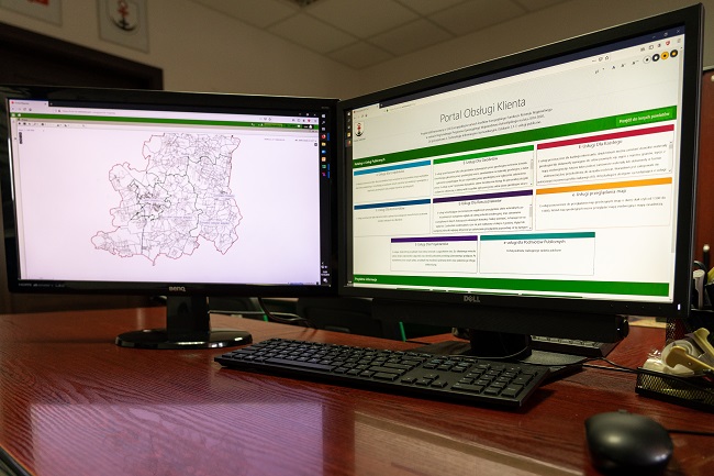
Platform of Electronic Geodetic Services (PEUG) is a project created in partnership by the Association of Counties of the Lower Silesian Voivodeship and 23 other Counties of the voivodeship. The investment consisted of launching Customer Service Websites by all partners, which provide e-services in a uniform way. PEUG not only gives access to maps, but also contains information regarding current data in the land register (area, function, buildings). The platform is very convenient because it allows, for example, people who want to buy or sell a house, to use terrain maps online. E-services can be used by residents as well as entrepreneurs, institutions, officials and other users. The launch of the aforementioned system brings many benefits, such as saving time, convenience, lack of queues in offices, and less formalities.
Wanting to use the Electronic Surveying Services Platform, one should have a trusted profile, submit appropriate applications (without having to leave their home), and make a payment for the data provided.
Your project description
To add a photo, description, specify a location or attach other materials about the project, you should fill out the form below. After clicking the “send” button, a message will be sent to you e-mail asking for confirmation. You must accept to submit the form. The EU Dot Map Guidelines and consent to the processing of personal data. materials will be sent to the editor of the site, who will publish it on the website after verification test.