

Reconstruction of the Żelazna Polder
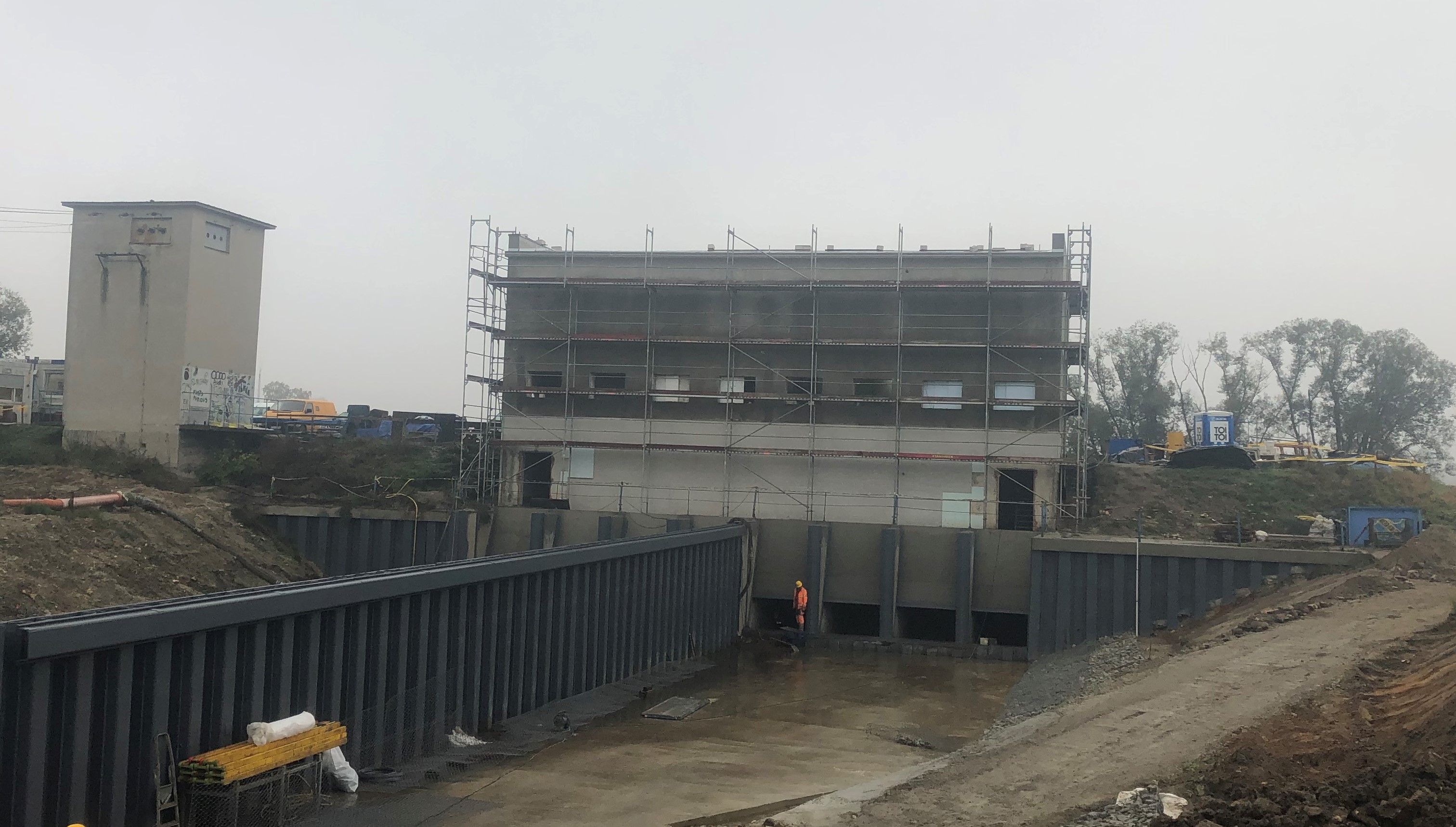
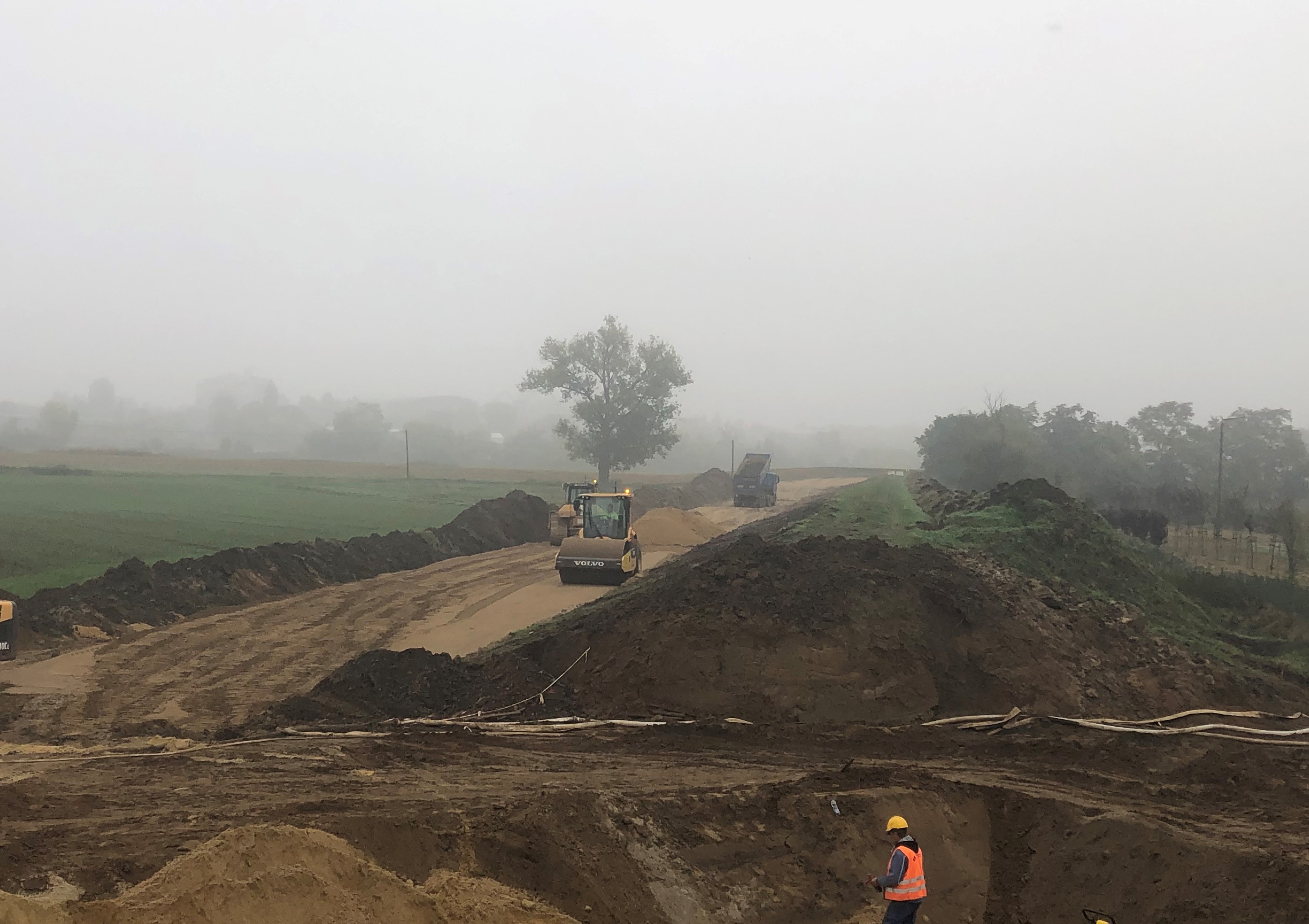
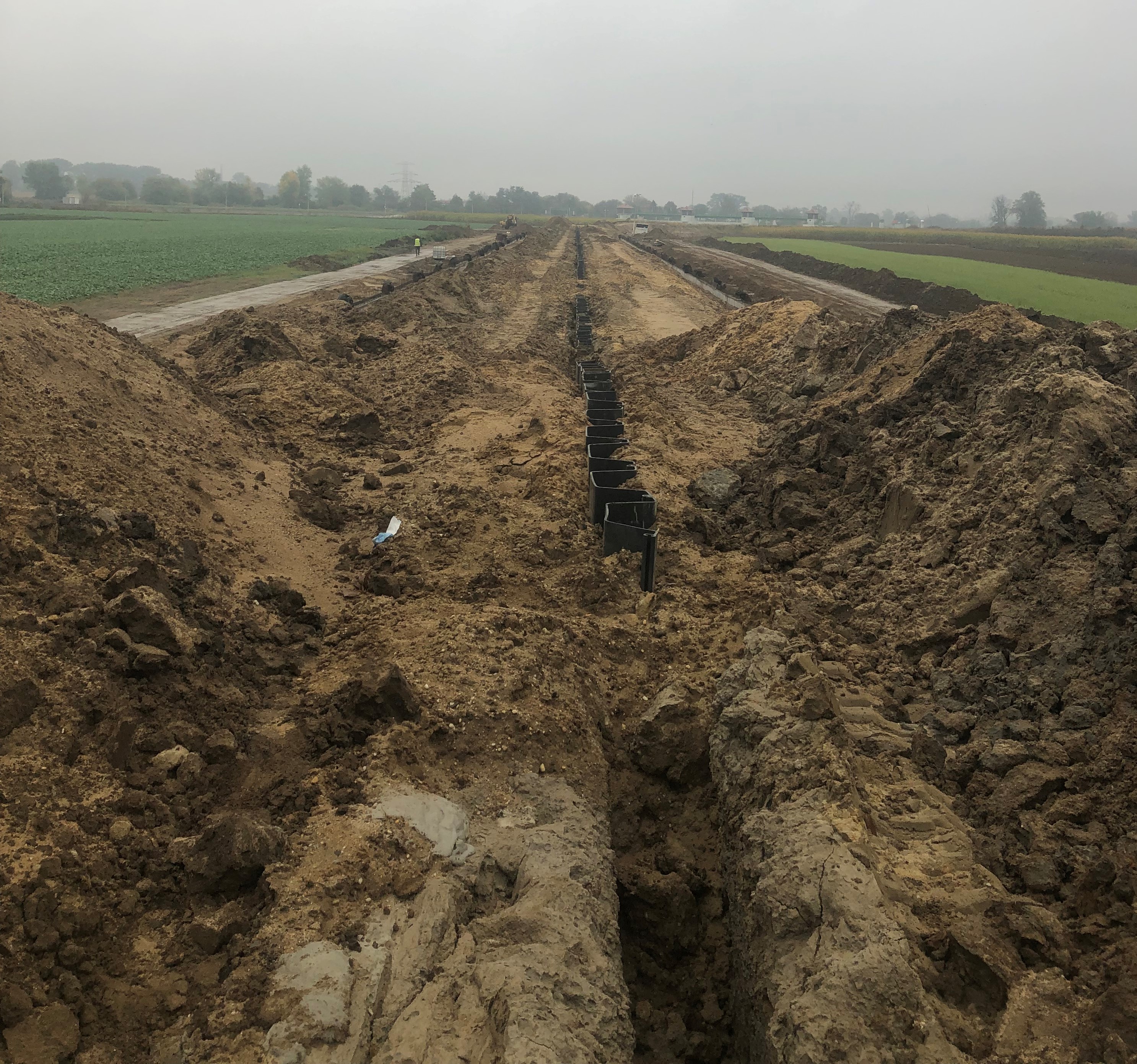
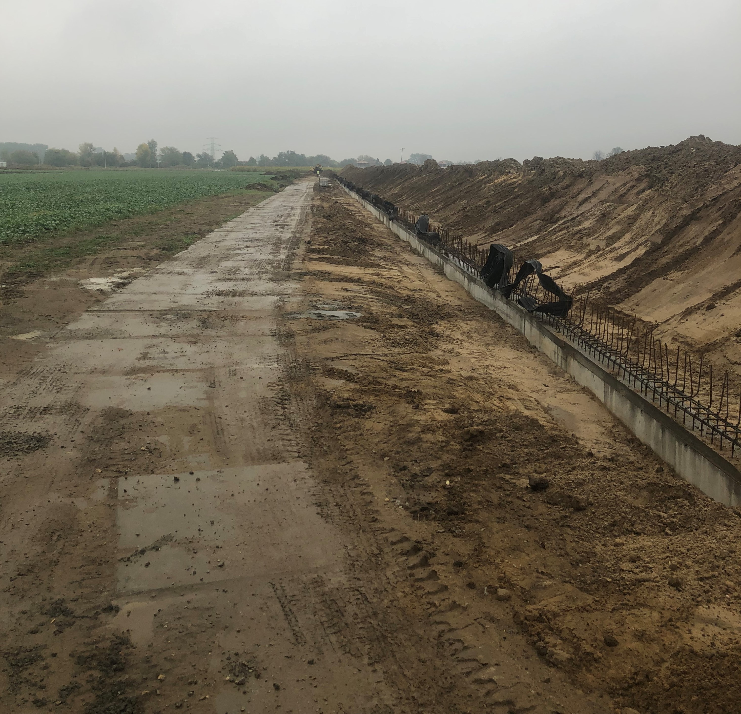
The subject of the project is the reconstruction of the existing “Żelazna” polder in Opole, consisting in the reconstruction of the existing water facilities and construction of new facilities in order to increase the polder capacity and the flood reserve.
The Żelazna Polder consists of two separate polders:
- Upper polder with an area of F = 165 ha and a capacity of V = 4.75 million m3,
- Lower polder with an area of F = 242 ha and a capacity of V = 4.95 million m3.
The investment includes the following stages:
I. Reconstruction of the “Polder Żelazna” polder embankment (part A) and modernization of the “Żelazna” pumping station (part B) with the facilities functionally related to these devices, II.Reconstruction / construction of the “Opole”, “Sławice-Żelazna” and “Żelazna” polder embankments.
Main devices of the Żelazna polder:- Polder “Żelazna” polder embankment with a total length of L = 5117 m with functionally related objects,- the “Opole” polder embankment with a total length of L = 2448 m with functionally related objects,- polder embankment and closing polder embankment “Sławice-Żelazna” with a total length of L = 4382 m, together with functionally related objects,- “Żelazna” closing polder embankment with a total length of L = 3254 m with functionally related objects,- “Żelazna” pumping station with functionally related facilities.
The project provides for the reconstruction of 1 device for the purposes of flood protection – the Żelazna Polder, together with the accompanying infrastructure.
The aim of the project is flood protection of the Odra River valley: gm. Opole, incl. the area of the special economic zone at ul. North in Opole, residential areas at ul. Partyzancka, the northern bypass of the city of Opole, Sławice district and Żelazna (commune of Dąbrowa) against flood waters of the Odra River. The planned reconstruction of the polder facilities (water devices) will also improve the conditions of land use located in the existing polder.
The planned effects of the investment implementation include first of all ensuring social and economic security related to the impact of potential natural disasters (floods).
Your project description
To add a photo, description, specify a location or attach other materials about the project, you should fill out the form below. After clicking the “send” button, a message will be sent to you e-mail asking for confirmation. You must accept to submit the form. The EU Dot Map Guidelines and consent to the processing of personal data. materials will be sent to the editor of the site, who will publish it on the website after verification test.