

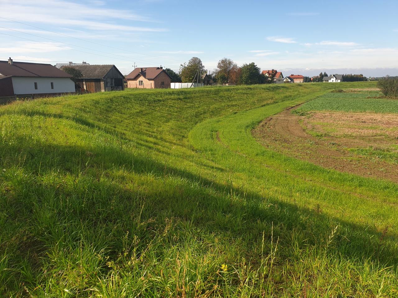
Construction of flood embankments on the Wisłoka River at km 27 + 100 to 31 + 400 and the Kiełkowski stream at km of the embankment from 0 +150 to 1 + 971 in the commune of Mielec and the commune Przecław, voiv. Podkarpackie Province
The main objective of the project is to improve flood safety in the Wisłoka River valley in the Podkarpackie Province by continuing the process of building flood embankments. The activities carried out under the project will directly contribute to increasing the level of flood safety in the area at risk of floods and inundation in the area of the Mielec Commune and Przecław Commune.
Implementation of the project will increase the resistance of this area to threats caused by adverse climatic changes (floods and flooding). The project belongs to investments aimed at the protection of areas with an average flood risk.
The effects of the project will minimize or completely eliminate the risk of flooding, and thus its effects: loss of people, loss of health to residents, irreversible damage and degradation of the natural environment, loss of property and economic entities, losses in public property, high costs incurred by local authorities to rebuild the damaged public property The project involves the construction of the left embankment of the Wisłoka River with a length of 4.17 km at km 27 + 600-31 + 400 and the construction of the left embankment of the Kiełkowski stream with a length of 1,821 km in river km. Wisłoki 27 + 100 – 27 + 600. In order to protect against filtration, a vertical cut-off barrier will be made in the shaft’s base, while a PVC geomembrane will be placed on the embankments’ slopes. In order to provide drainage of the land, it will be necessary to make 6 embankment culverts. In order to ensure efficient communication during flood control actions and for the maintenance of the embankment, it is planned to create a communication system by constructing communication routes (on the embankment and in the inter-embankment) and building 9 embankment crossings.
The investment in question also includes the reconstruction and construction of exits along poviat and commune roads along with road culverts as well as the demolition and reconstruction of the conflicting utilities along the embankment route.
Your project description
To add a photo, description, specify a location or attach other materials about the project, you should fill out the form below. After clicking the “send” button, a message will be sent to you e-mail asking for confirmation. You must accept to submit the form. The EU Dot Map Guidelines and consent to the processing of personal data. materials will be sent to the editor of the site, who will publish it on the website after verification test.