

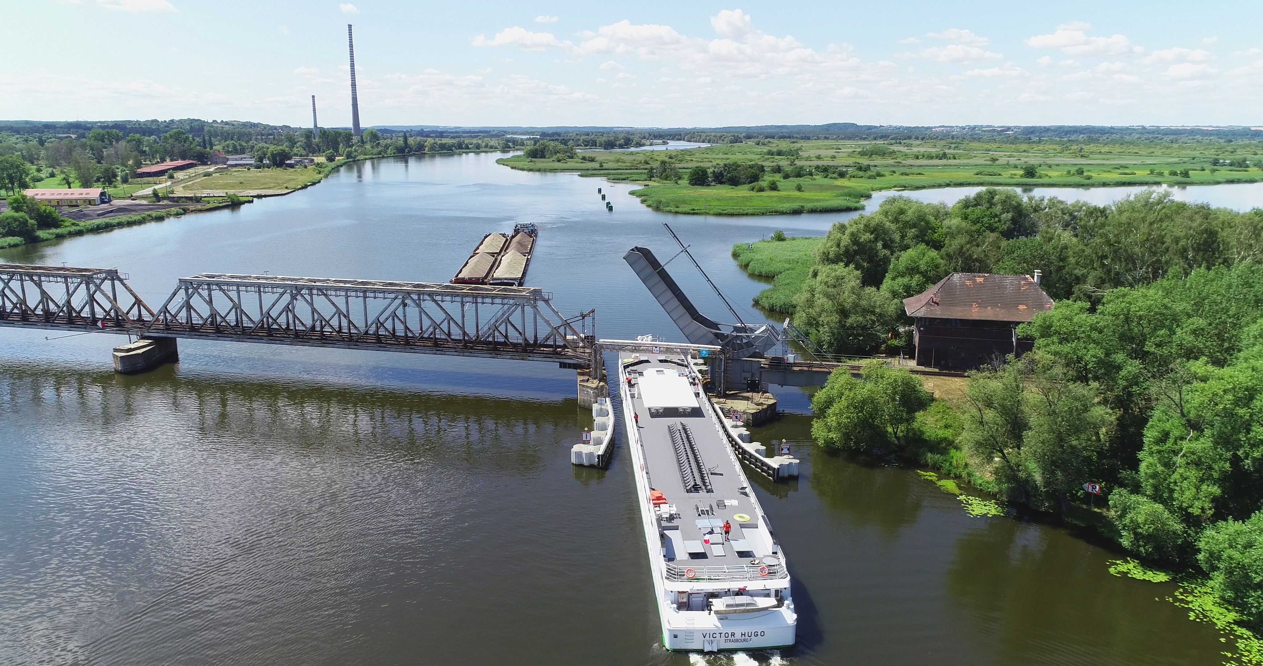
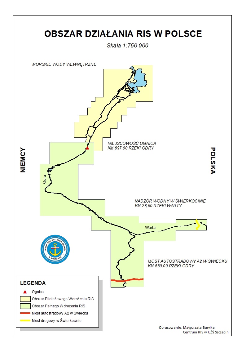
Full implementation of the Lower Oder RIS
This project is the next stage of the implementation of the harmonised system of River Information Services (RIS). As part of the project, the area covered by the RIS system will be increased and the functionality of the already implemented system will be improved.
The main objective of the project is to improve the quality of currently provided river information services with the use of the latest available technologies and the development and provision of new services for public administration, inland waterway shipping companies, inland waterway captains and other stakeholders. The purpose of introducing the RIS system is to integrate and fully use information from all sensors and devices installed on a given vessel, as well as to obtain information from the outside.
Considering the obligations arising from shipping regulations imposed on the ship’s manager and the need to be familiar with the current hydrometeorological situation and the conditions on a given waterway before the start of the journey, the RIS system will provide access to information and facilitate decision-making processes. RIS also aims to integrate the navigation environment across Europe and to increase its competitiveness by providing clear information for users from different states. This has a positive effect on the development of inland navigation and opens new foreign markets for local carriers.
Your project description
To add a photo, description, specify a location or attach other materials about the project, you should fill out the form below. After clicking the “send” button, a message will be sent to you e-mail asking for confirmation. You must accept to submit the form. The EU Dot Map Guidelines and consent to the processing of personal data. materials will be sent to the editor of the site, who will publish it on the website after verification test.