

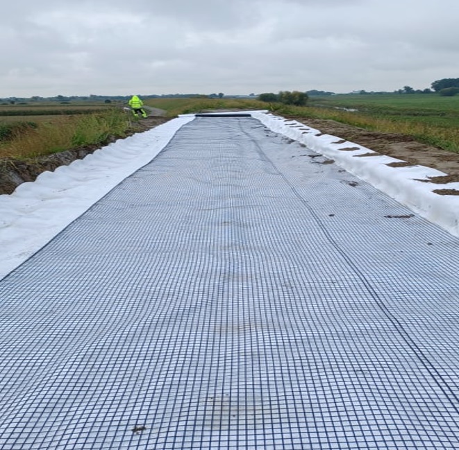
Trześniówka VII - extension of the right embankment of the Trześniówka river at km 0 + 000-7 + 678 in the town of Zalesie Gorzyckie and Trześń, commune of Gorzyce and in the city of Tarnobrzeg - stage 1
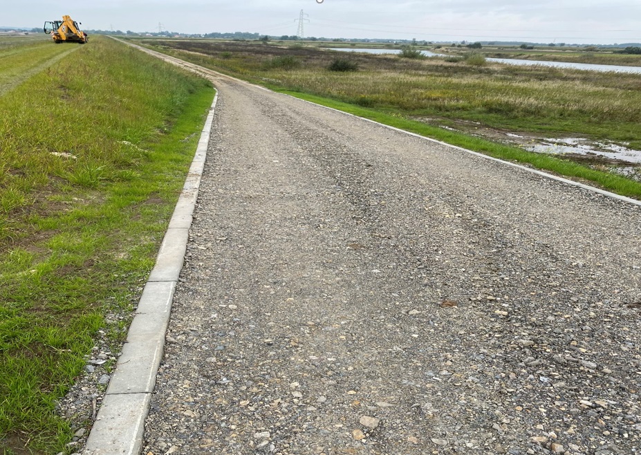
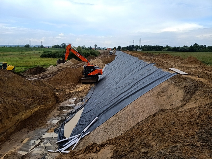
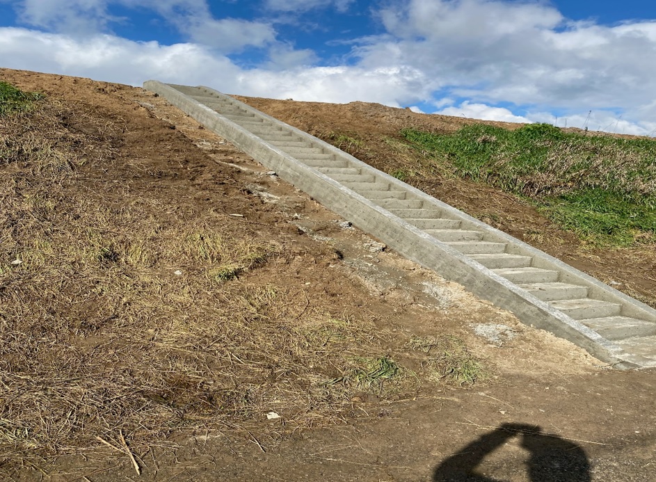
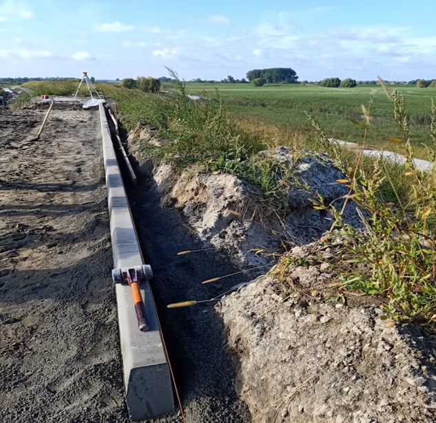
The main objective of the project is to improve flood safety in the Vistula River valley in the Podkarpackie Province by continuing the process of expanding the backwater flood embankments of the Trześniówka River. The activities carried out under the project will directly contribute to increasing the level of flood safety in the area at risk of flooding, in the area of the Gorzyce Commune and the City of Tarnobrzeg. The implementation of the project will increase the resistance of this area to threats caused by adverse climatic changes (floods and flooding). The project belongs to investments aimed at the protection of areas with an average flood risk. The effects of the project will minimize or completely eliminate the risk of flooding, and thus its effects: losses to people, losses in the health of residents, irreversible damage and degradation of the natural environment, losses in the property of persons and business entities, losses in public property, high costs incurred by local authorities to rebuild damaged public property. The project involves the expansion of the right flood embankment at km 0 + 000-4 + 641 with a total length of 4.641 km. As part of the expansion of the embankment, it is planned to widen and raise the body as well as perform anti-filter protection of the body and the subsoil. In order to ensure drainage of the land, the expansion of 2 embankment culverts is planned. In order to ensure efficient communication during flood control actions and for the maintenance of the embankment, it is planned to improve the communication system by constructing a flood road, extending 5 embankment crossings, constructing a road culvert and two maneuvering areas. its routes with utilities and the repair of public roads used for transporting construction materials to the construction site.
Your project description
To add a photo, description, specify a location or attach other materials about the project, you should fill out the form below. After clicking the “send” button, a message will be sent to you e-mail asking for confirmation. You must accept to submit the form. The EU Dot Map Guidelines and consent to the processing of personal data. materials will be sent to the editor of the site, who will publish it on the website after verification test.